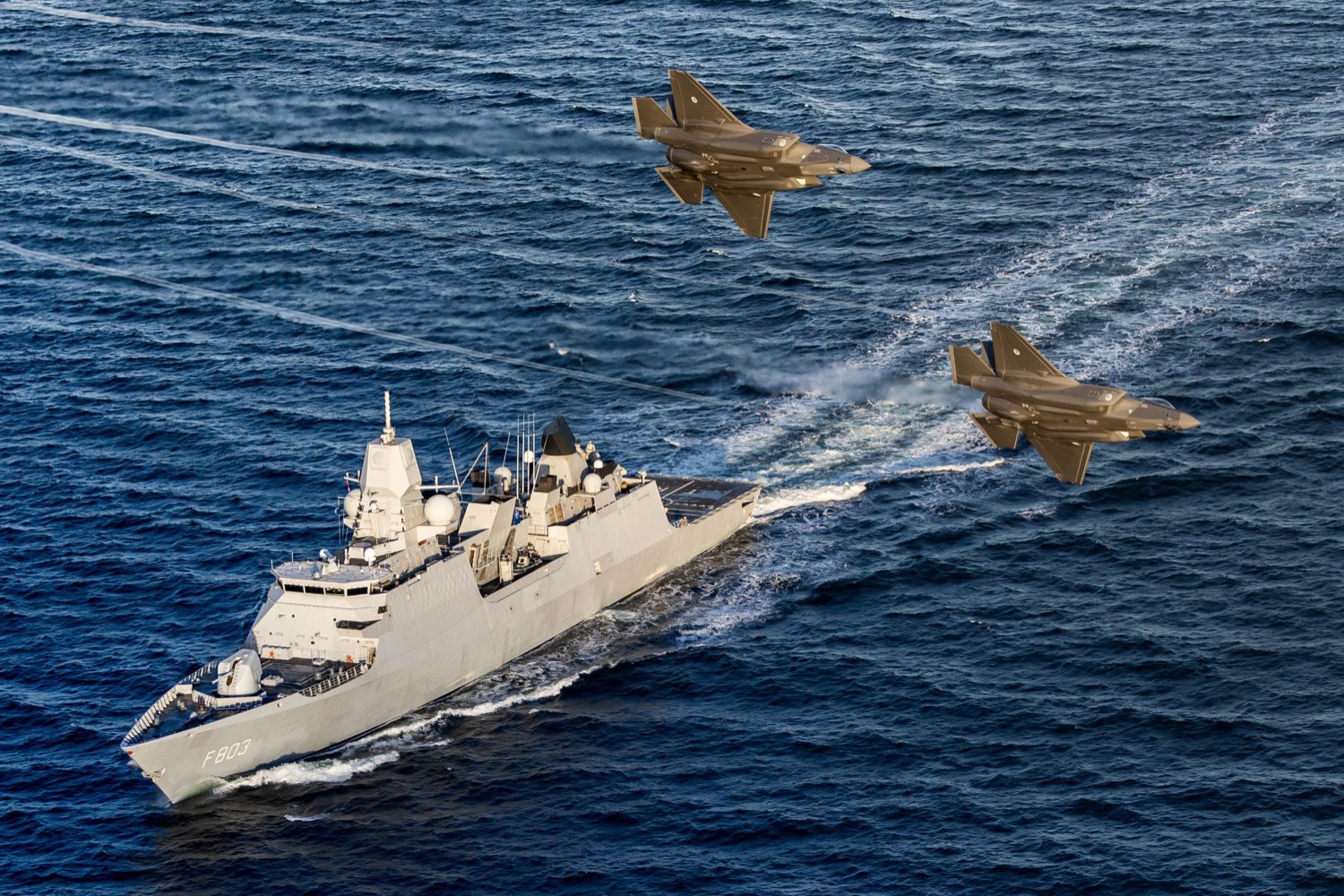
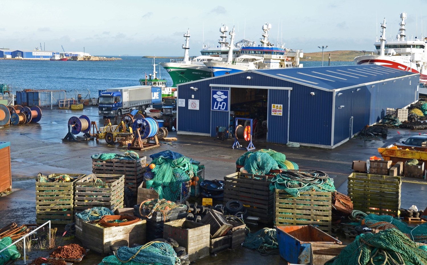
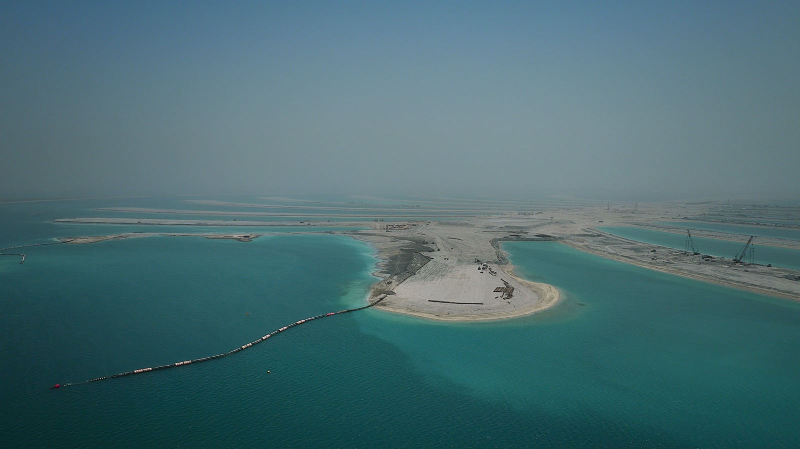
Drifting is the term for a ship moving slowly over or alongside subsea infrastructure, holding station long enough to record what lies beneath it. In the North Sea it was logged 13,079 times last year, a rise of 52% on the year before, according to figures from Windward, a maritime risk analytics firm, reported by Reuters on 10 September. Surveying infrastructure in international waters breaks no law. Doing it thirteen thousand times a year is a survey programme.
The Russian rehearsal near Svalbard
The same report set out what NATO navies found in the Arctic in the spring of 2026. Deep-sea submersibles operated by GUGI, the Main Directorate of Deep-Sea Research, which runs Russia’s undersea warfare fleet and reports directly to the defence minister and the president, were exercising near Svalbard. They were practising the deployment of a device designed to disable fibre-optic cables without leaving evidence of who had done it.
British, Norwegian and American forces tracked the Russian vessels, confronted them at sea and stopped the exercise before it was completed. The submersibles left the area. Norway’s defence minister, Tore Sandvik, said the joint operation “sent a clear message to Russia that they cannot operate covertly”. The technical specifications of the device have not been made public.
Svalbard’s vital data cables
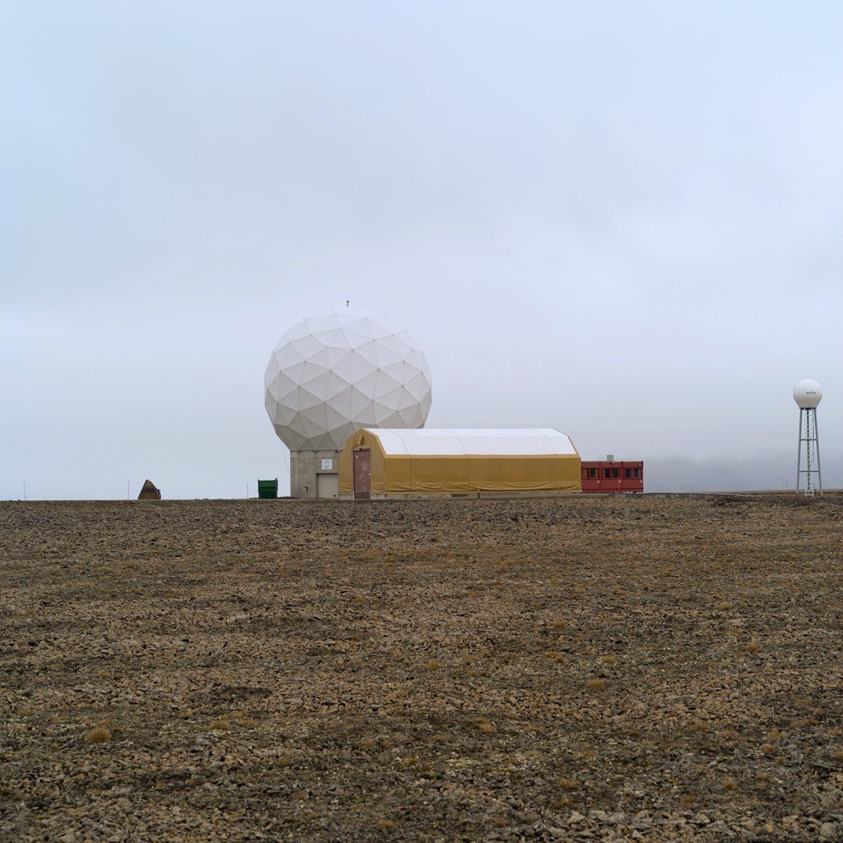
Svalbard is connected to mainland Norway by a pair of fibre-optic cables laid in 2003 by Space Norway, the state-owned operator: 1,375 km and 1,339 km of line running from Longyearbyen to Andøya, reaching depths of about 2,700 metres. They carry the internet for a settlement of roughly 2,500 people. They also carry the data from SvalSat, the satellite ground station on the Platåberget plateau above the town, whose hundred-odd antennas downlink polar-orbiting satellites for the European Space Agency, the American weather service and others.
One of the two failed on the night of 7 January 2022. A Russian trawler, the Melkart 5, had crossed the water above the cable more than thirty times in the preceding two days; Norwegian police questioned her captain, found no evidence of a crime and closed the case. The second line carried Svalbard’s traffic in the meantime, which it did for a long time: the damaged cable was not fully repaired until June 2023, seventeen months after it broke. Space Norway strengthened the system’s security afterwards, within a programme of upgrades running from 2018 to 2024.
The North Sea energy and information superhighway
The southern North Sea holds a denser concentration of critical infrastructure than any comparable water. Gas pipelines feed the continent, interconnectors tie the British and continental grids together, and the wind farms off the Yorkshire and Dutch coasts run multi-gigawatt export cables ashore. Norway’s gas fields sit at the northern end of the same system. Every new project adds more kilometres of line to a seabed that nobody watches continuously.
The Baltic has already shown what happens next. Eleven cables were damaged or cut there between October 2023 and the end of 2024, which produced NATO’s Baltic Sentry patrols in January 2025 and the UK-led Nordic Warden alongside them. Baltic drifting fell 5% last year, to 526 vessels. The North Sea figures have gone the other way.
The limits of the protection fleet
Patrolling all of this is a resourcing question, and the answers coming from London are blunt. A July memorandum by the strategic intelligence analyst Ash Walker for Britain’s World described a Royal Navy already managing continuous at-sea deterrence, carrier escort and monitoring of the Greenland-Iceland-UK gap, and found no capacity left over.
Walker also noted that responsibility for subsea infrastructure policy is split across five government departments, and that the departing defence secretary had said the defence investment settlement “falls well short of what is required”. Russian survey ships including the Yantar have continued to work inside UK waters throughout. A frigate can establish that a vessel passed over a cable; it cannot be alongside every cable at once.
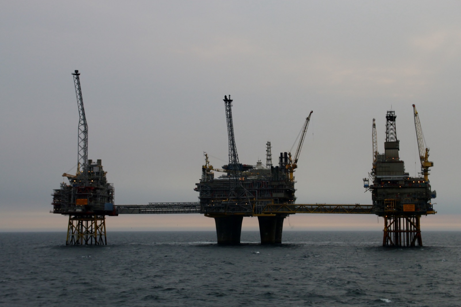
Nieuw Doggerland as a forward outpost
Nieuw Doggerland, the project behind this site, proposes to raise new land on the drowned plain south of the Dogger Bank, between Britain and the Netherlands: a hub island and harbour first, then an archipelago. The sovereignty case for it has rested on the fact that four states hold overlapping economic rights across those shallows and none holds territory. The drifting count and the Svalbard rehearsal add a defence argument to that.
Begin with the harbour, which is the first thing the project would build. Nieuw Haven would lie 202 km from the Dutch naval base at Den Helder, 284 km from Zeebrugge and 431 km from Rosyth. A patrol or survey vessel working the cable corridors today spends a day or more of its endurance on passage before it reaches the ground it is meant to watch. Berths, fuel, stores and a repair quay in the middle of the sea would turn that passage into time on station, and put a cable-repair or salvage vessel within hours of a fault instead of days.
Aircraft are the second role, and the geography there is starker. The nearest base flying maritime patrol aircraft over these waters is RAF Lossiemouth in Moray, 551 km from the project area, home to Britain’s P-8A Poseidon fleet and, under the Trinity House Agreement signed with Germany in 2024, to German Poseidons as well. A runway on the hub island would remove that transit altogether for the southern North Sea, and would take helicopters and the long-endurance drones already used for pipeline survey with it.
Sensors, radar and missile defence
A fixed island can carry instruments a ship cannot. Radar can run permanently instead of arriving with a ship. Hydrophone arrays on the seabed can be cabled to the island for power and data rather than running down batteries, and the acoustic watch does not stop when the vessel carrying it goes home to refuel.
NATO already runs a fusion centre for exactly this material, the Maritime Centre for Security of Critical Undersea Infrastructure at Northwood outside London. What the southern North Sea lacks is a permanent listening position in the middle of the water that centre is trying to watch.
A structure on land also stands higher than a ship, and holds the watch continuously. A radar 100 metres above the sea has a horizon of roughly 41 km against a low-flying target, against about 23 km from a frigate’s masthead. Land-based air and missile defence is established practice in the alliance: the Aegis Ashore sites at Deveselu in Romania, operational since 2016, and Redzikowo in Poland, declared operational in July 2024, put ship radars and Mark 41 launchers on fixed ground so that the coverage does not sail away.
The working example sits in another ocean. Diego Garcia, the largest island of the Chagos Archipelago, lies roughly 1,600 km south of India and carries a joint British and American base: a deep-water anchorage, a runway long enough for heavy bombers and tankers, signals intelligence facilities, and one of the three stations of the American Ground-Based Electro-Optical Deep Space Surveillance network, which tracks objects in orbit. A coral atoll holds that watch in a way no ship can, because the antennas, the telescopes and the fuel stay there year after year. Nieuw Haven would be a smaller proposition in a far busier sea, and the instruments it could hold steady would be the same kind.
Britain has built defensive structures in this sea before. The Maunsell forts, designed by the civil engineer Guy Maunsell and placed from 1942, were reinforced concrete towers built ashore, towed out and sunk onto the bed of the Thames and Mersey estuaries. They carried anti-aircraft guns and radar, and denied German aircraft the shipping channels for minelaying. The last of them were decommissioned in the late 1950s.
The treaty problem with a defence role
There is a cost to all of this, and it lands on the legal model. The Foundation’s sovereignty case points to the Svalbard Treaty of 1920 as its precedent, and Article 9 of that treaty forbids naval bases and fortifications on the archipelago and bars its use for warlike purposes. Norway reads that as a prohibition on warlike use rather than on all military activity; Russia reads it as complete demilitarisation; the two positions have never been reconciled, and Norwegian forces on Svalbard are kept to coast guard patrols. A North Sea treaty drafted on the Svalbard model would have to settle at the table what Svalbard left ambiguous.
Chagos carries a second warning. Britain removed the entire Chagossian population between 1968 and 1973 to clear the way for the base, and the consequences are still being worked through: an International Court of Justice opinion against British administration in 2019, then a treaty signed in May 2025 transferring sovereignty to Mauritius while leasing Diego Garcia back for 99 years at £101 million a year, with ratification stalled since early 2026 over American objections. Mauritius may resettle Chagossians on every island of the archipelago except the one carrying the base. An archipelago built for residents and then given a defence role would have to settle that order of precedence in the treaty rather than after it.
There is a blunter cost as well. Infrastructure worth defending is infrastructure worth attacking, and an island carrying radar, a runway and several thousand civilian residents among the cable corridors would be both a sensor and a target. Any government asked to underwrite it will price that in.