The Vision · The Islands

New Land
From the Sea

At the heart of Nieuw Doggerland is a single buildable fact: the Dogger Bank is shallow. Where the sea is 15 to 36 metres deep, today's dredging technology can raise land; that is exactly where the ancient plain once stood.

An Island on the Dogger Bank

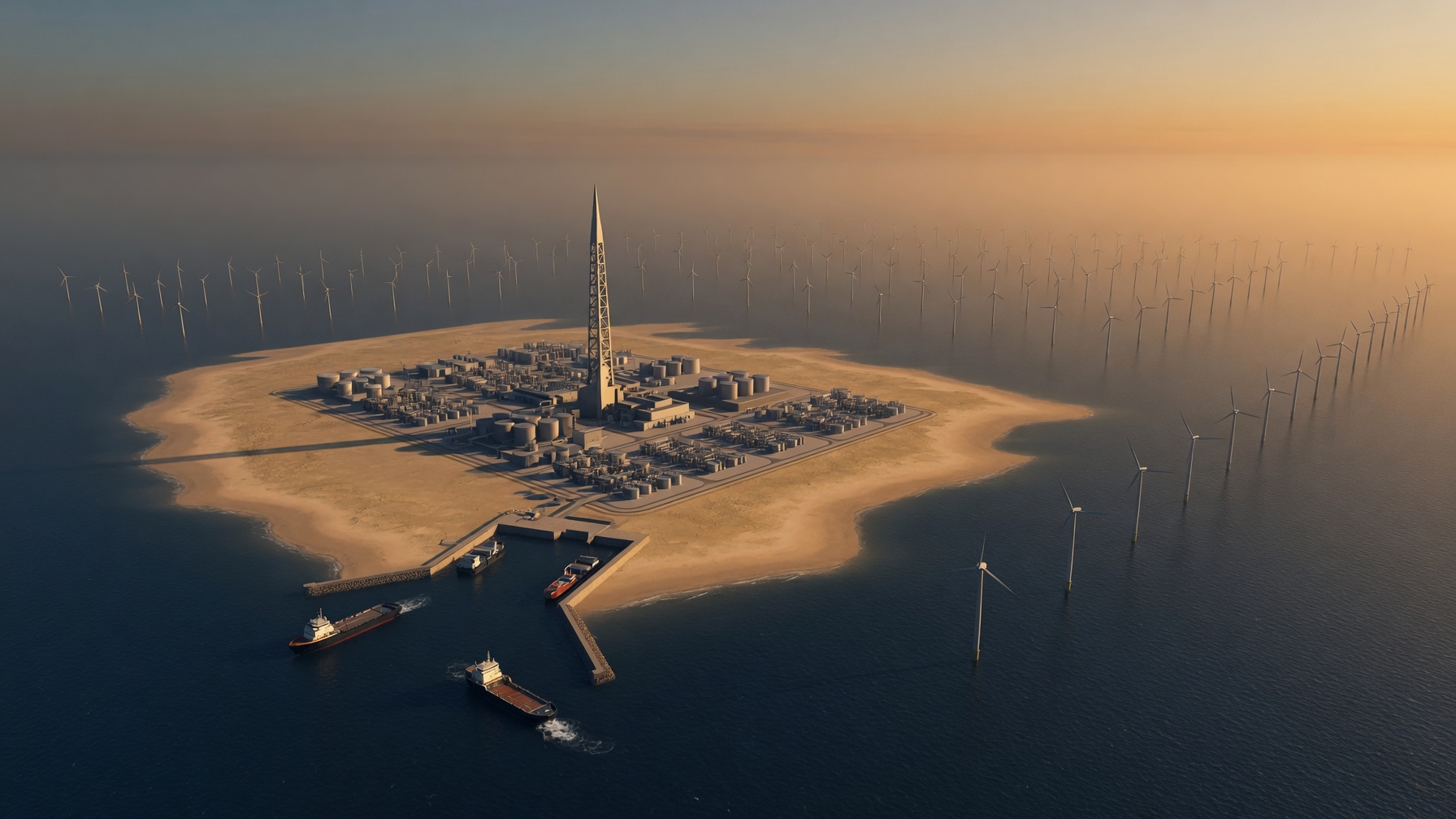
The first permanent structure is a central hub island of roughly 5–10 km², built at approximately 52.8°N, 2.1°E on the shallow sandbanks between the Norfolk Banks and the southern North Sea. It carries the energy infrastructure, the marine research station, the heritage centre, and the first port.

Construction uses sand extraction and rock armour (the same proven Dutch and British methods that built Maasvlakte 2 and defended the Fens), delivered with partners Boskalis and Van Oord. Crucially, the foundations are reef-optimised from the outset; every structure below the waterline is designed to be colonised.

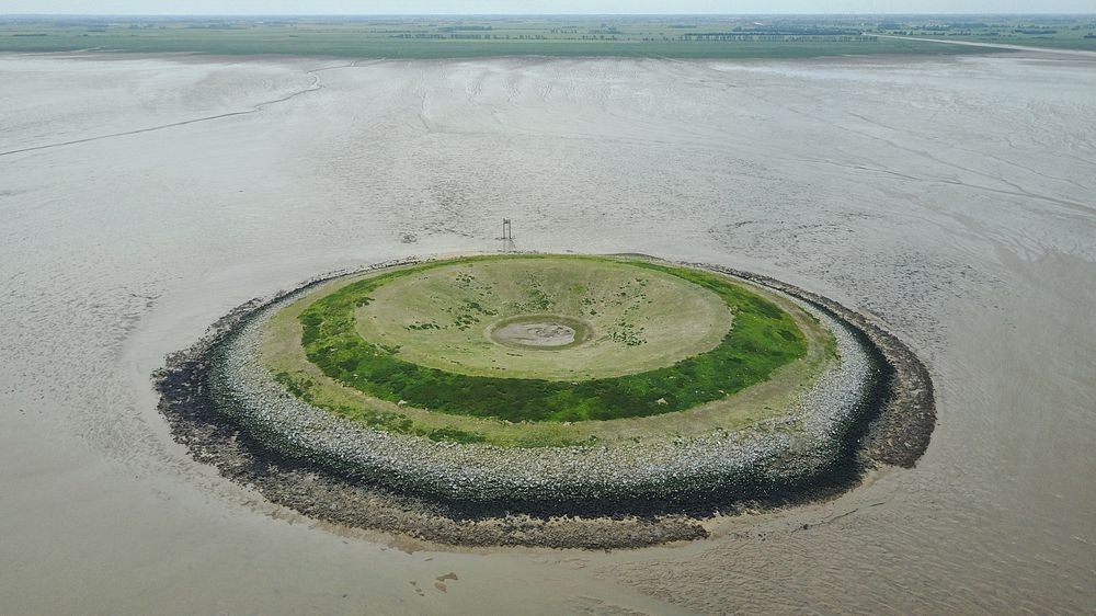
Drone photograph of Outer Trial Bank, a circular artificial island in The Wash
Outer Trial Bank, The Wash: a circular artificial island raised from the seabed in the 1970s. The methods are proven; Nieuw Doggerland applies them at scale.
5–10km²
Central hub island
15–36m
Buildable water depth
52.8°N
Hub latitude, 2.1°E
100%
Reef-optimised foundations

Chains That Radiate Outward

From the hub, island chains radiate toward both coastlines along the Immingham–IJmuiden axis. The gaps between them form sheltered lagoons: low-current, low-disturbance water that is ideal for oyster reefs, seagrass, and fish nurseries, and that makes the bridges and causeways between islands far easier to build.

The geometry is deliberate. Each island shelters the next; each lagoon is a habitat; each foundation is a reef. Form, ecology, and engineering are designed together rather than traded off against one another.

Zones of the Hub Island

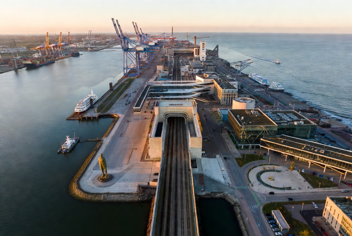
Nieuw Haven port with ferry terminal

Nieuw Haven

The hub-island port and civic heart: ferry, rail, and supply terminals, and the first permanent settlement on the bank.

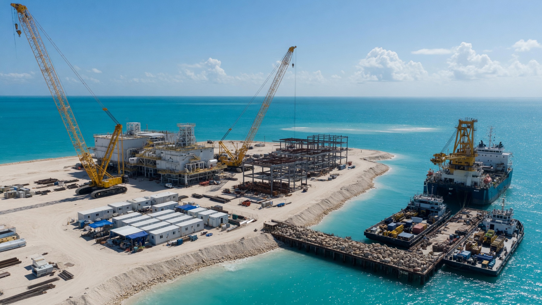
An artificial island under construction: cranes, steel framework and supply vessels raising new land from the sea

Vermuyden Quay

The Norfolk-side approach, named for the engineer who reclaimed the English Fens: proof that North Sea reclamation at scale is achievable.

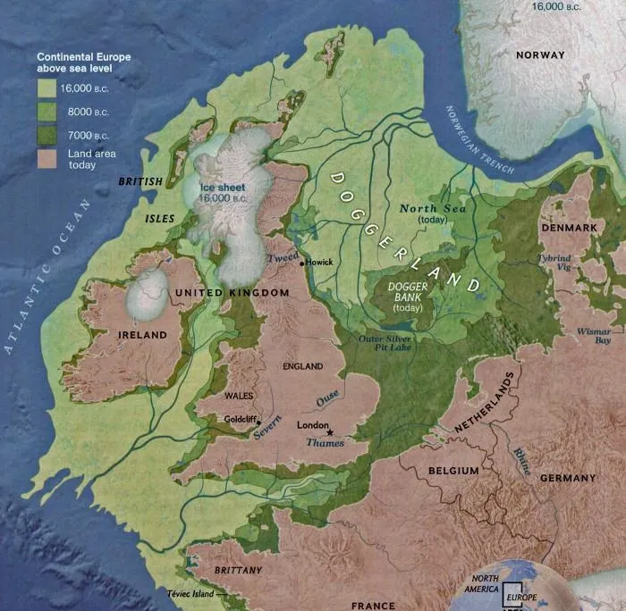
Map of ancient Doggerland through the millennia

Archaeology & Heritage Lagoon

A protected lagoon over the richest subsea excavation zones, anchoring the Doggerland research mission.

The energy spire amid offshore wind turbines

Energy & Innovation Promenade

Where the wind, hydrogen, and research infrastructure meet the public realm.

Join the Founding Circle

Nieuw Doggerland needs dredging and land-reclamation specialists, coastal and geotechnical engineers, and master planners to raise islands that are reefs and cities at once. Join the Founding Circle.

Get Involved