Before anyone drives a monopile into the seabed, they check the ground for bombs. The southern North Sea holds a century of dumped munitions, jettisoned bomb loads and mines, so every offshore wind farm runs an unexploded-ordnance survey across its whole footprint, sweeping every cable route and foundation position for buried metal.
One of those surveys, run for Hornsea 3, found something that was not a bomb. About 120 km off the Norfolk coast in 40 metres of water lay the remains of a wooden ship nobody had recorded, and beside it three lead ingots of roughly 70 kg each, still lying in the stack they were stowed in. Hornsea 3 is a 2.9 GW offshore wind farm being built by Ørsted, the Danish developer, and it will be the largest in the world when it finishes; Ørsted reported it around 30 percent complete this August, with commissioning expected between late 2027 and early 2028.
Derbyshire lead on the Hull run
Each ingot carries a stamped maker’s mark: “IS”, “EB” and “H”. Those marks resemble ones on lead recovered from the Kennemerland, a Dutch East India Company ship wrecked off Shetland in 1664, which is the main reason archaeologists think the Hornsea vessel was also Dutch. The lead itself almost certainly came out of Derbyshire, the Peak District orefield having been England’s principal source in the period.
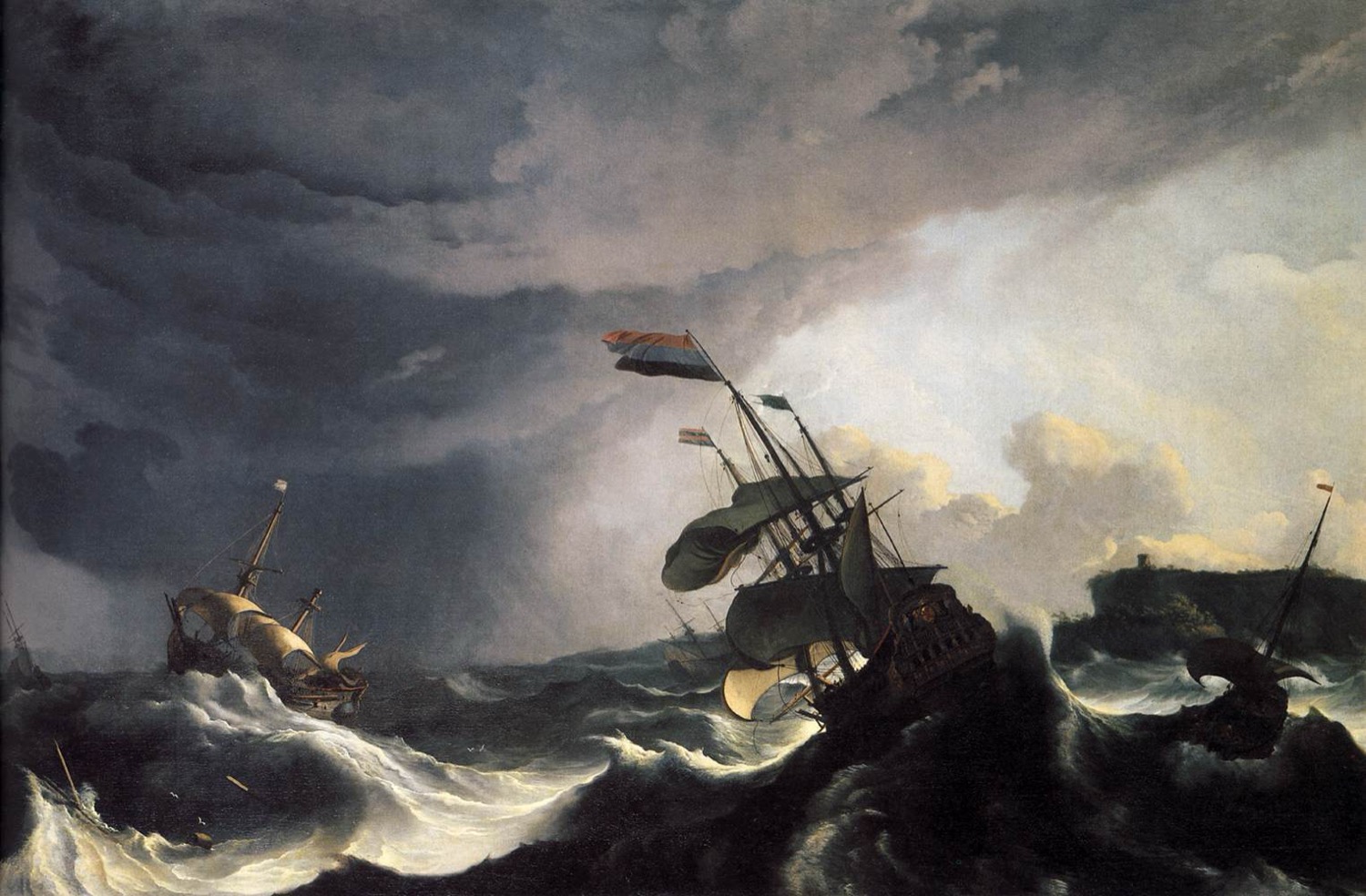
That gives the wreck a route as well as a date. Seventeenth-century England exported lead in quantity to Amsterdam and Rotterdam, shipped out of Hull and London, and the wreck sits on the Hull-to-Netherlands line. A ship went down carrying English metal towards the Dutch market, somewhere between three and four centuries ago, and stayed lost until a wind farm needed to know what was under its cables.
Anyone who recovers wreck material in UK waters has to report it by law. MSDS Marine, a specialist marine archaeology contractor, surveyed the wreck and lifted the ingots, with Historic England advising. The find was registered with the Receiver of Wreck at the Maritime and Coastguard Agency. Andrea Bailey, the deputy receiver of wreck, says registering a find is what lets it reach an owner or a museum instead of vanishing.
They have been placed with the Peak District Lead Mining Museum at Matlock, a few miles from ground the metal was probably dug out of. Analysis to confirm the Derbyshire origin is still to come.
The protocol that found it
Nobody went looking for that wreck. It was found because a 2.9 GW wind farm cannot be consented in UK waters without a marine archaeology assessment, a written scheme of investigation, and a discovery protocol running through construction.
That protocol has a name: ORPAD, the Protocol for Archaeological Discoveries for offshore renewables, written by Wessex Archaeology for The Crown Estate in 2014. It exists because offshore construction runs around the clock, which makes the traditional archaeological watching brief unworkable, so instead the crews themselves are trained to recognise and report finds and a duty archaeologist assesses them. The Hornsea 3 ingots are what that system looks like when it works.
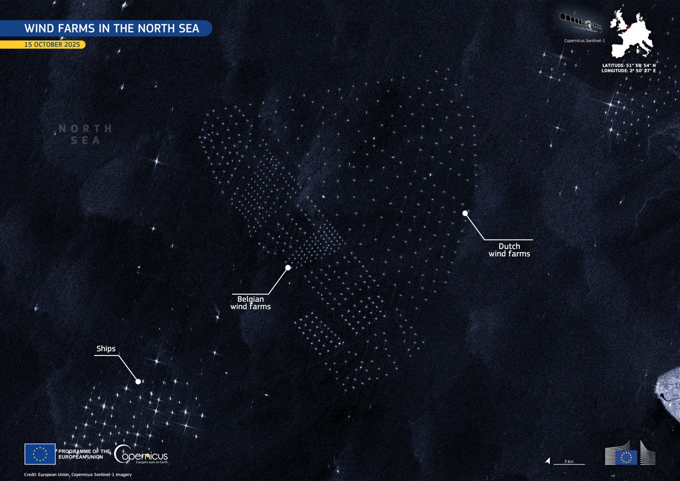
Every foundation position, every cable corridor and every export route across the southern North Sea is now being surveyed at a resolution no research budget has ever been able to buy, by an industry legally obliged to look and to report what it finds. Marine archaeology in this sea now runs largely on the wind industry’s money and to its timetable, and it is turning up finds the discipline could never have funded on its own.
Whose water this is
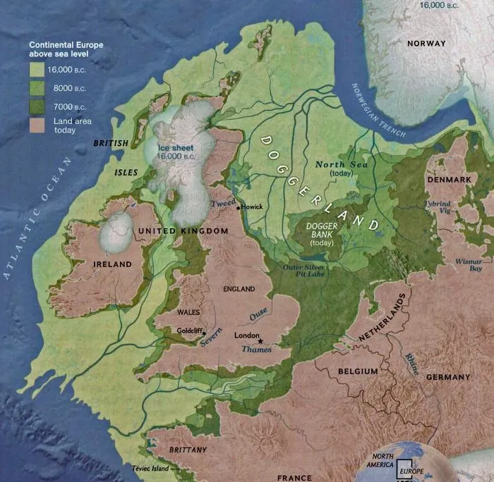
Nieuw Doggerland, the project behind this site, proposes new land on the drowned plain south of the Dogger Bank, in about 22 metres of water alongside the Hornsea wind farms. The wreck was found in the field next door, and the shipping lane it sank on runs almost exactly where we propose to run a transport corridor between Immingham on the Humber and IJmuiden. Ships have been carrying cargo between those two coasts for as long as there have been ships on this sea; the plan restores a link rather than inventing one.
That seabed was dry land itself eight thousand years ago. People walked it in the Mesolithic and their tools still come up in trawl nets, which is the subject of an earlier piece on the Colinda harpoon and of our heritage pages. A 17th-century Dutch merchantman has nothing to do with that prehistory, and we are not going to pretend otherwise. The same process would turn up finds of any age: the consent conditions require a survey, the survey turns something up, and an archaeologist is already under contract to record it.
Finding things by accident is not a good enough standard for us, because our foundations would sit in the middle of the drowned landscape rather than at its edges. The plan commits to a dedicated survey of the hub zone before construction, protected excavation areas written into the layout, and an Archaeology and Heritage Centre on the island to hold what comes up. Three ingots in a Derbyshire museum are a good outcome from a bomb survey; they are a modest standard for a project that proposes to build on the site itself.